Ha Giang Travel Guide – Top Unique Things To Do
Ha Giang is Vietnam’s Northernmost highland province coming in the shape of a hat covering the starting point of the country and running along the border with mainland China through 300 kilometers.
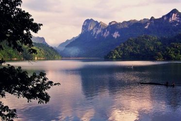
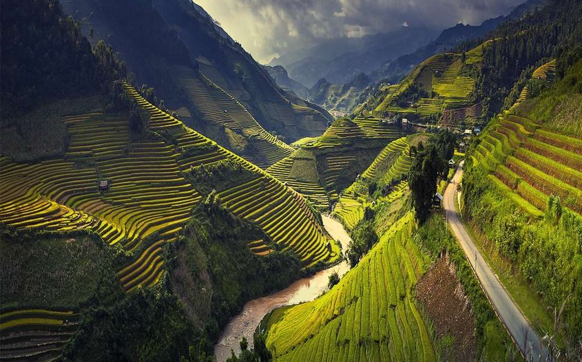
Topography-wise, this province is granted by Mother Nature with an exceptional setting bearing an everlasting attractiveness of a typical mountainous wilderness that cannot be found anywhere else.
Because of such, a trip to Ha Giang when in Northern Vietnam comes along with a wide array of interesting experiences. These can be seen through its gigantic landscapes, a system of crooked waterways and harsh highlands terrain. Our Ha Giang Travel Guide will reveal how to make your trip there an amazing experience.
About Ha Giang
Ha Giang was designed with a sophisticated terrain divided into three main sections. First, the Northern stone mountain field is filled with a highly vertical gradient parting its own set of valleys, rivers, and streams. Second, the Western soil mountain field witnesses a slightly high terrain with alpine slopes while narrow alleys and rivulets.
Finally, the core region is formed by mountains, Lo River valley and Ha Giang city center.
Ha Giang Travel Guide:
How to get to Ha Giang?
The distance between Hanoi and Ha Giang lasts for around 300 kilometers. This means you can opt for a motorbike trip by yourself if you are an adventurous person.
Just bear in mind that the whole road trip by scooter can last up to 8 or 10 hours depending on your speed.
Another alternative to be considered is hopping on a coach. First off, you need to get on a sleeping bus from Hanoi to Ha Giang, and then take another local bus to Quan Ba, Yen Minh, Dong Van or Meo Vac.
To move in between the attractions in each of the cities, then “Xe Om” or motorcycle taxi is what you need.
Authentic Cuisine in Ha Giang
Ha Giang specialties are brought by the breath of the mountains harmonized with the diversity in customs and culture of the ethnic communities. Here is an archive of 11 exotic food in Ha Giang that outstands the destination from others:
- Cháo âu tẩu – Au tau porridge
- Thang cố
- Thit gác bêp – Smoked beef
- Lợn căp nách – Mountainous pork
- Chè Shan tuyêt – Shan tea
- Thịt chuột La Chí – La Chi tribal mouse
- Bánh cuôn trứng – Egg rice rolls
- Phở chua Hà Giang – Hà Giang sour pho
- Thăng dên – Sweetened sticky rice ball soup
- Cơm lam Băc Mê – Bac Me grilled rice tubes
- Rượu ngô – Corn wine
Must-See Attractions in Ha Giang
Heaven Gate and Quan Ba Twin Mountains
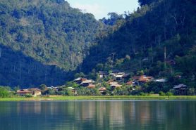
Quan Ba “Heaven Gate” is 1500 meters above sea level. The gate is the very first entrance leading to Dong Van Plateau. In 1939, a giant 150-centimeter-thick wooden gate was established right at the entrance. Stories have it that a private different world conquered by the Hmong tribal ethnicity behind this gigantic gate. The Hmong villages cover a large area including Quan Ba, Yen Minh, and Dong Van.
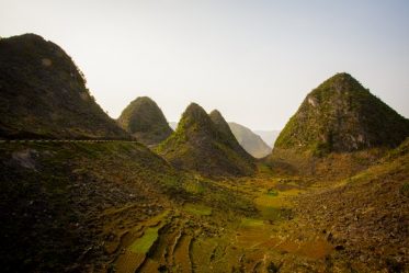
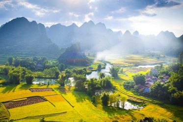
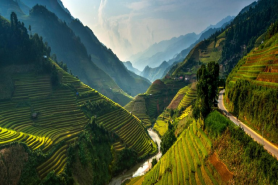
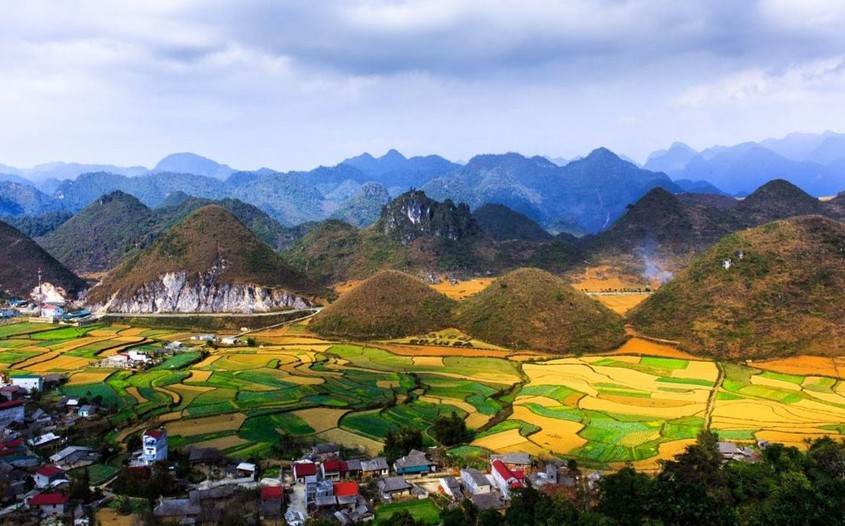
Meanwhile, the complex of Quan Ba Twin Mountains is located 40 kilometers away from Ha Giang downtown along 4C Highway. This is such a magnificent scene offered by Mother Nature when a pair of huge mountains imposingly emerge in the middle of the infinite terraced rice fields, which delivers an enormous beauty of wild landscapes to travelers.
Dong Van Karst Plateau Geopark
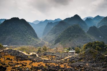
Dong Van Global Geopark is a gigantic karst plateau stretching through four districts: Quan Ba, Yen Minh, Dong Van, and Meo Vac. The total area is over 2.300 square kilometers. The Plateau shares an inland border with China and lies up to 1600 meters above sea level.
Dong Van is a spectacular topography formed by at least 80 percent limestone along with a wide range of ancient creatures’ fossils dating back to nearly 600 million years ago. On the 3rd of October 2010, Dong Van Plateau Geopark was ranked as the 77th member of the Global Geopark Network, which marked the milestone of Dong Van being the first global Geopark in Vietnam and the second in Southeast Asia.
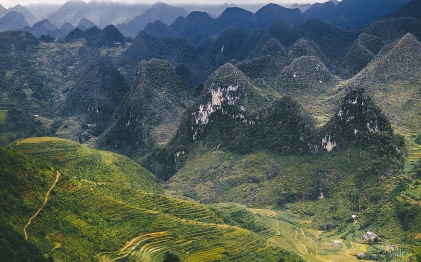
Hmong Royal Palace
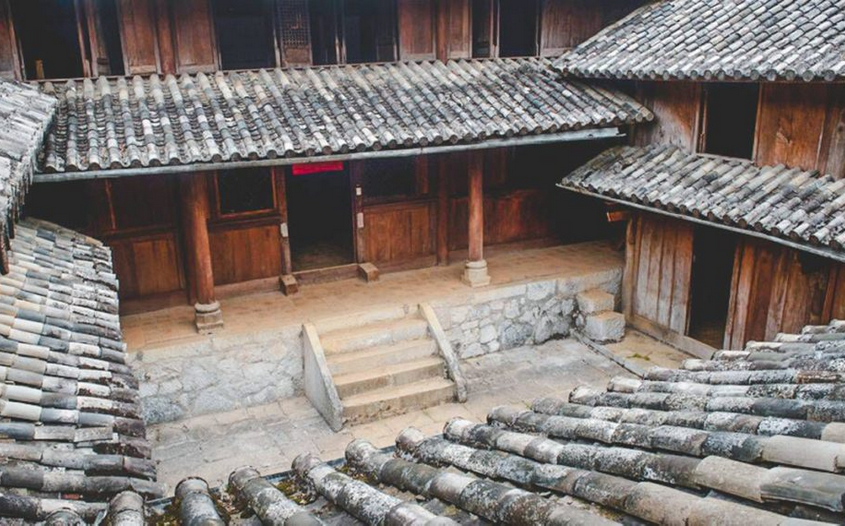
Hidden behind the massive range of Cunninghamia trees is the former palace of the Hmong King – Vuong Duc Chinh. The site is located in Sa Phin valley which has been well protected by all sides of karst mountains wall. According to history, Vuong Duc Chinh was the leader of the H’mong Vuong family in Ha Giang dating back to a century ago.
Building his own “empire” thanks to his cross-border business of trading opium through China and Burma, Vuong Duc Chinh gradually became a wealthy tycoon and soon conquered this stone highland. Vuong’s palace was built within eight years by the hands of artistic Hmong natives and still able to present a significant local architecture hiding an interesting story behind the master’s family.
Ma Pi Leng Pass
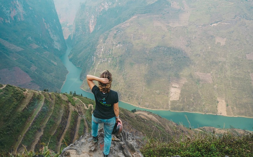
Ma Li Leng has a literal meaning of “a horse’s nose” in the native language. The name represents a vertical mountain slope bringing an exact look like the nose of a horse. However, some documents stated that Ma Pi Leng should mean the nose of a cat.
The pass is an iconic part of Dong Van Geopark, which is 2000 meters above sea level. It is created by a system of fossils, such as limestones dating back to 426 millions of years ago.
A trip to Ma Pi Leng allows travelers to observe special geological formations, which includes a wide array of cracks resulted by the building of mountains.
Top Recommended Activities in Ha Giang
The list of best activities in our Ha Giang Travel Guide brings you to a whole new level of traveling, which dedicates to both adventurous and culture-vulture fans:
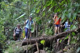
- Trekking along Ma Pi Leng Pass
- Biking trip to observe the enormous ripening rice paddies
- Conquering off-road trails
- A camping night under the sky full of stars
- Joining the locals in their unique festivals
- Crossing Nho Que River on a bamboo float
- Spending a night in a homestay
- A discovery into mystic caves
- Checking in the farthest boundary stones
We hope this quick Ha Giang travel guide will help you much to plan a trip to the destination. If you would prefer to discover Ha Giang to the best, the 4-Day Ha Giang Tour would surely feed your soul.

